THE SOLUTION IS OUR HANDS
RIS
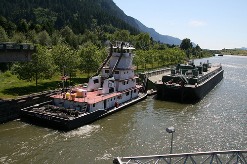
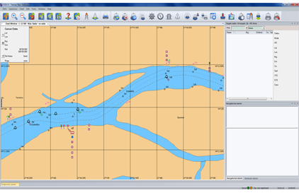
The Transas River Information System (RIS) has been designed specifically to ensure safe navigation on inland waterways and to provide the conditions for safe and secure navigation along rivers. It facilitates comprehensive planning of ship traffic in coastal waters, thereby contributing to a more efficient utilization of inland waterways.
Transas RIS is compliant with European standards and all specific requirements for River Information Services. Moreover, it supports the Vessel Tracking and Tracing Standard for Inland Navigation and Electronic Chart Display and Information System for Inland Navigation Standard.
Functionality
- Radar, AIS, CCTV, RDF, Meteo- Hydro sensor support and control;
- Multi-radar tracking integration;
- Multi-sensor (Radar and AIS) tracking integration;
- Multi-AIS data filtering and integration;
- Manual or automatic target acquisition and drop;
- Manual or automatic target identification;
- Radar video presentation;
- AIS dynamic and static data presentation;
- Blue Sign and Blue Cones presentation;
- Inland specific AIS data presentation;
- Transmission and reception of AIS text telegrams;
- Target maneuver prediction (radar tracking in shadow areas);
- Sophisticated zones configuration – e.g. traffic, guard, auto acquisition, responsibility, etc.;
- Comprehensive configurable Alarms Management, including Navigation and Sensor Alarms;
- Record and Playback;
- Extensive chart functionality, including chart editing;
- Full system and sensor diagnostics;
- Wide range of external interfaces.
Advantages
- Supports Inland ECDIS;
- Supports Inland AIS;
- Optimized radar processing;
- VHF Communication system supporting ATIS code.